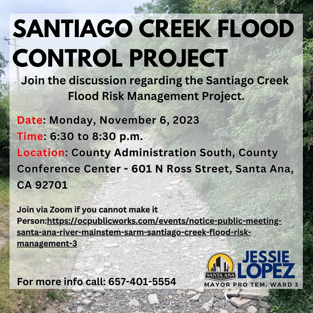
You’re invited to join the Army Corps of Engineers for a public meeting on Monday, November 6th at 6:30 PM to get the latest on the Santiago Creek Flood Risk Management Project. This meeting was rescheduled from the original meeting date of October 2, 2023.
This is not a City of Santa Ana project. Note that the Army Corps of Engineers wants to remove the trees lining Santiago Creek and turn this area into a concrete nightmare with no hint left of nature.
This meeting follows public meetings on January 26, 2023 and May 3, 2023 and is an opportunity for you to hear more about the proposed improvements designed to enhance flood protection along Santiago Creek in Santa Ana between the Interstate 5 Freeway and the Santa Ana River, and upstream at the Santiago Recharge Basins. The project is in partnership with the U.S. Army Corps of Engineers as a component of the Santa Ana River Mainstem Project.
The Draft Supplemental Environmental Assessment and Initial Study/Mitigated Negative Declaration (SEA/IS/MND) will be discussed, which assesses environmental impacts related to project implementation and future maintenance. The Draft SEA/IS/MND may be obtained at the following location:
www.lrc.usace.army.mil/Missions/Civil-Works-Projects/Santiago-Creek
In-person attendees will have the opportunity to ask questions to project team members, while comments or questions will need to be submitted in writing for CEQA review on comment cards at the meeting, via email to Santiago_Comments@usace.army.mil, or by mail to attention of Michael Padilla at the U.S. Army Corps of Engineers, 231 South LaSalle Street, Suite 1500, Chicago, Illinois 60604 by November 14, 2023.
Online attendees will need to provide comments through the Zoom chat feature.
Click here to join Zoom Meeting
Meeting ID: 892 0642 2308 Passcode: 076646
Date: Monday, November 6th, 2023
Time: 6:30 p.m. — 8:30 p.m.
Meeting Location:
County Conference Center
OC Public Works
601 N. Ross Street
Santa Ana, CA 92701
Use P4 parking lot for free parking for 11/06/2023 public meeting attendees
Use P3 parking structure if P4 lot is full (P3 cost: $1.00 each 15 minutes or any portion thereof)
Project Description and Background
The purpose of the SARMP, including the Santiago Creek component, is to provide flood risk reduction to areas susceptible to flooding within the counties of San Bernardino, Riverside, and Orange. The need for the project is due to significant flooding along the Santa Ana River – including Santiago Creek – within Orange, Riverside, and San Bernardino counties in California, which has been documented since at least 1897. According to USACE documentation, the largest recorded flooding event by peak flow occurred in 1938 following a series of large storm events, the flooding caused at least $4,000,000 in damages within Orange County along (1938 price levels). In February 1969, a series of significant storms resulted in approximately $22,000,000 in damages within Orange County (1969 price levels) and at least twelve deaths. Unprotected banks along Santiago Creek are subject to erosion which could cause damage to residential and commercial (i.e., Oakridge Private School) developments as well as infrastructure (i.e., Villa Park Road) along the creek.
This objective of the Santiago Creek project is to safely pass the 1% annual chance of exceedance flood event (100-year storm). The project consists of slope stabilization improvements to the Bond, Blue Diamond, and Smith Basins to reduce the risk of erosion during flood events, and improvements to the Santiago Creek channel downstream of Interstate 5 to the confluence of the creek with the Santa Ana River for erosion protection and conveyance.
The design update for the Santiago Creek project is being funded 100% by federal funds from the Bi-Partisan Budget Act of 2018.

